|
| |

|
| LOGOWANIE |
|---|
| PRODUKTY |
|---|
|
Elektronika jachtowa
Książki
Mapy elektroniczne i software
Mapy, locje i przewodniki żeglarskie
Materiały i chemia jachtowa
Nawigacja
Odzież żeglarska
Prace bosmańskie
Różności
Silniki i napędy
Sporty wodne
Środki ratunkowe
Woda, paliwo, prąd, światło
Wyposażenie i osprzęt jachtowy
Wyprzedaż
|
|
Illustrated Navigation - Ivar Dedekam
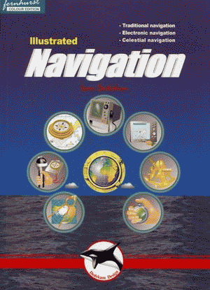
Poradnik ten przedstawia zarówno zasady nawigacji klasycznej, za pomocą kompasu i logu, jak również prowadzonej przy pomocy elektroniki jachtowej (GPS, chartplotter, radar).
Książka w języku angielskim. Spis treści:
Traditional navigation. How charts are created. Latitude and longitude. Position. Using charts. Variation and deviation. The steering compass. Logs and echosounders. Plotting implements. Leeway and current. Handbearing compasses. Dead reckoning/Bearings. Miscellaneous. Night sailing. IALA buoyage system. Tide and tidal currents. Navigation lights. Summary. Electronic Navigation. The GPS system. How does GPS work?. GPS receivers. Using the GPS receiver. Chart plotters. Using the chart plotter. Waypoints and routes. Display setup. Receiver setup. Radar. How the radar works. Range/Bearing discrimination. Radar operation. Adjusting the radar. Radar problems. Setting up the display. Collision avoidance. Celestial Navigation. The sun`s geographic position. Astronomical model. Principles of celestial navigation. Hour angles. Noon sight. Measuring sun's altitude. UTC, Zone and standard time. Working a sight. Sight reduction sheet. Taking the noon sight. Plotting position lines. Finding lat. and long. directly. Corrections. Stars. Polaris (the polar star). Using a calculator. Appendix: Tables and formulae. Oprawa miękka. 84 strony. ISBN 978-1-904475-13-2 |

|
SZUKAJ PRODUKTU

|
|
|
 |
| Copyright (C) Sail-ho |